Projects Terrain
ASTER (Advanced Spaceborne Thermal Emission and Reflection
Radiometer)
is mounted sensor on an earth exploration satellite launched in December 1999 by NASA, Japan's Ministry
of
Economy, Trade and Industry (METI) and ERSDAC (Earth Remote Sensing Data Analysis Center).
ASTER has a resolution of 15m, 30m, and 90m and is equipped with three sensors: VNIR (Visible and Near
Infrared), WIR (Shortwave Infrared), and TIR (Thermal Infrared). The features of ASTER are that it
provides
a higher spectral resolution, visible, near IR, short wave IR, and thermal IR spectral area, and
provides
stereo images. ASTER can be used to monitor volcanic activity on land, change of coastline, vegetation
in
rainforest, wetland, etc., to predict surface energy flow, and to extract general DEM.
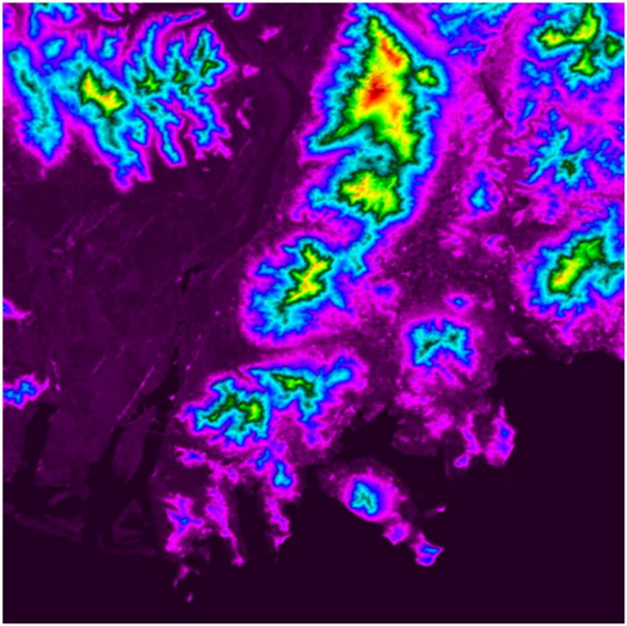
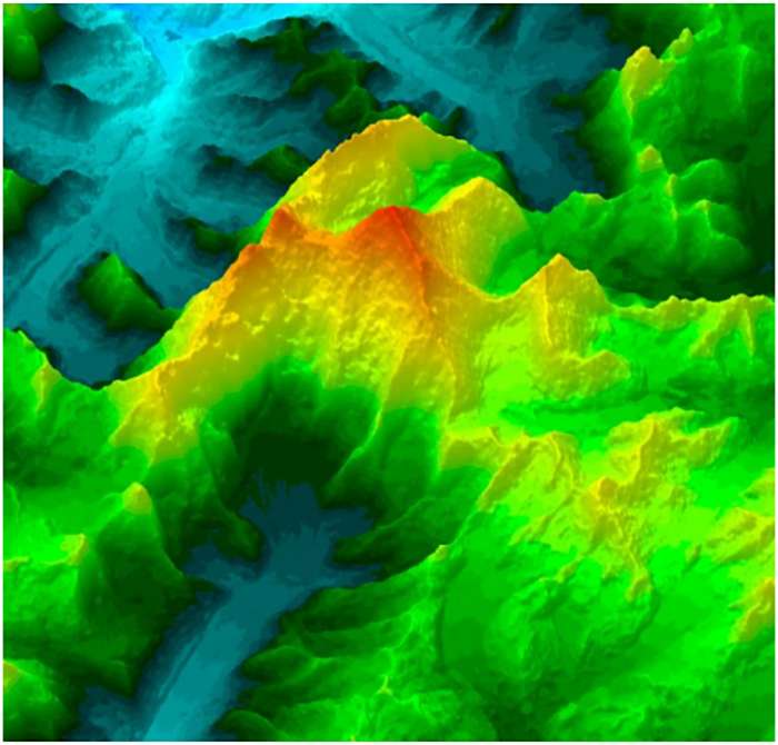
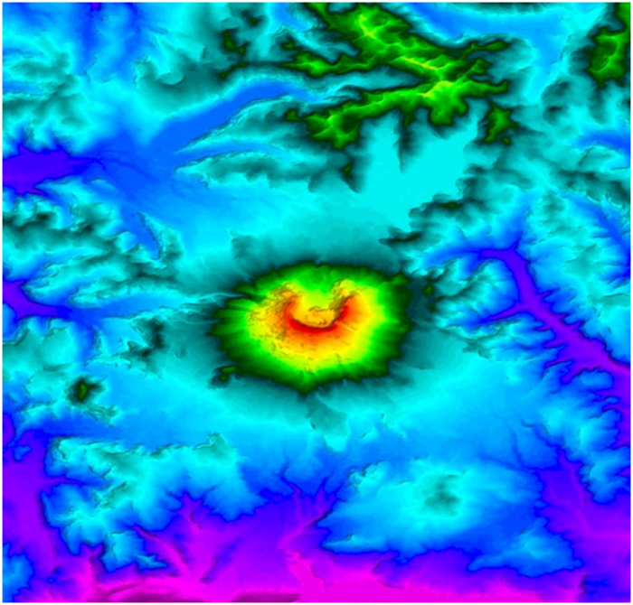
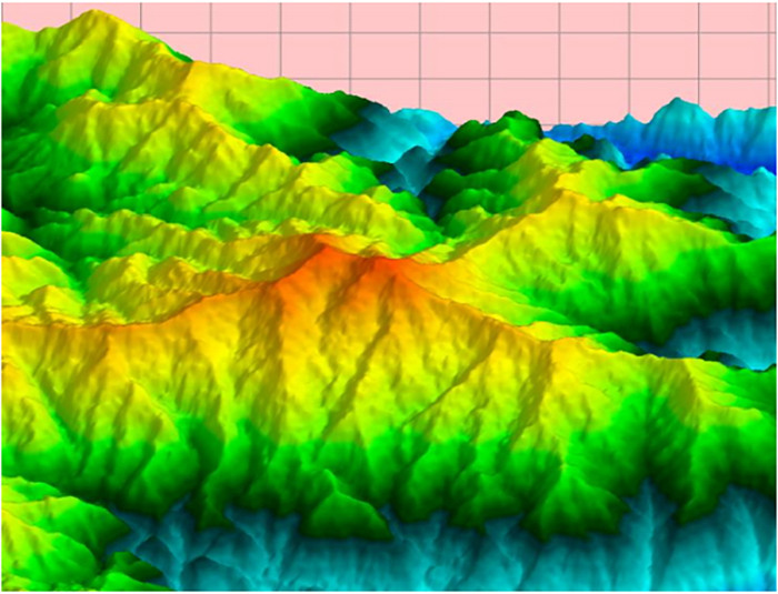
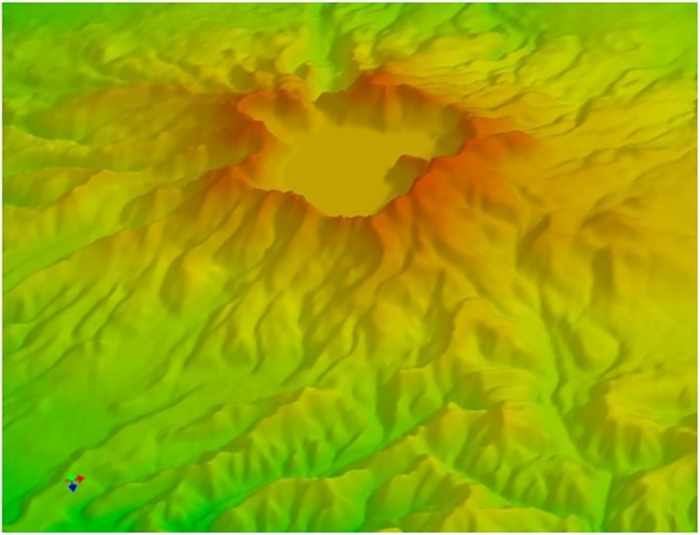
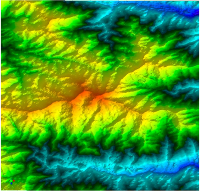
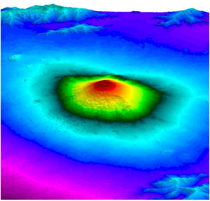
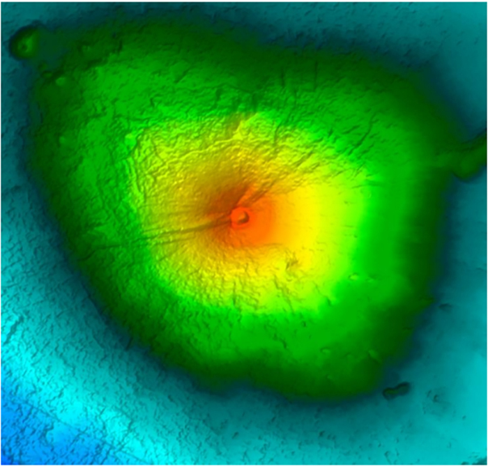
AVISS has a rendering technology optimized for the Digital Elevation Model (DEM) and shows excellent memory savings and very fast rendering speeds when handling massive amounts of data.